
The moose hunting season on public land begins on September 26 and continues until October 25 in the Gaspésie region. At the same time, the white-tailed deer hunting season takes place from October 3 to 16 (crossbow and bow) and from November 7 to 15 (firearms). If you'd like to continue your nature walks while feeling safe, we've got you covered with a list of accessible and secure trails and locations for your outings.
 Agence l'Ambassade
Seaside Trails
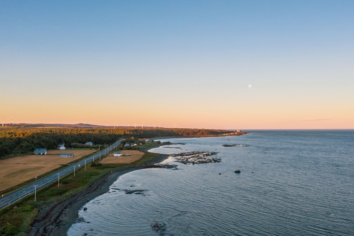
Why not opt for seaside trails during this time? It's generally the safest option. Bundle up warmly, and you're good to go! Here are some particularly interesting seaside locations worth considering:
- Baie-des-Sables: The Sentier des Rosiers, located along the riverbank, connects the Meunier rest area, across from Fromagerie du Littoral, to the village of Baie-des-Sables, offering a 5.6 km trail (round trip). At various points, you can descend to the beach or stop at benches to admire the view.
- Between Sainte-Félicité and Grosses-Roches: The Sentier du Littoral begins behind the church of Sainte-Félicité. You can walk all the way to Grosses-Roches during low tide. However, it's not possible to return the same way due to rising tides blocking certain access points. Hence, you need to arrange a car at the other end of the trail in Grosses-Roches. Expect a distance of around 14 km.
- Grosses-Roches Sea Trail: Starting from the Café du Havre parking lot (122 rue de la mer, Grosses-Roches), this 4 km trail offers a round trip through the woods.
- Between Matane-sur-mer and Saint-Ulric (approximately 13 km of coastline).
- Between Barachois de Matane Beach (marina) and Petit-Matane (approximately 9 km of coastline).
Sugar Shack Trekking Trails at Mytik Shack-Sucré
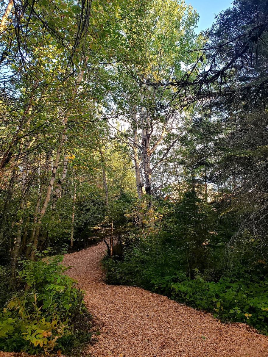
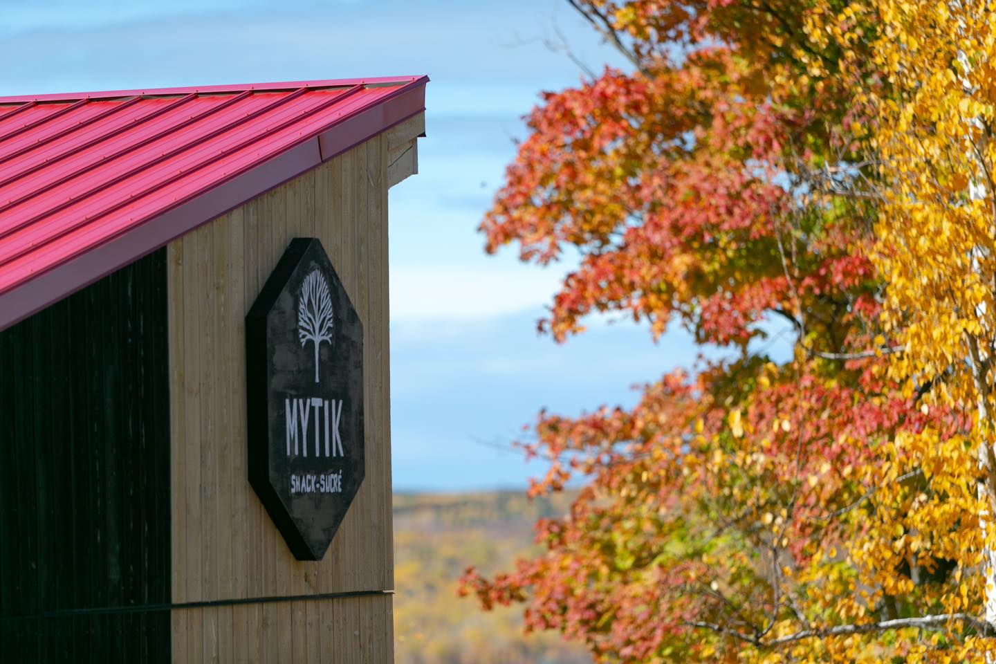
On the land of the Mytik Shack-Sucré sugar shack located on Montagne Road in Saint-René-de-Matane, these forest trails offer a complete immersion in nature and local culture, not to mention the autumn colors that dominate this area of La Matanie. Completely safe and easily accessible to families, Mytik's trails offer several panoramic viewpoints of wind turbines, mountains, the Matane River, the valley, and the Jean-Chassé Covered Bridge. Rest areas also allow you to enjoy the site for a picnic. Want to take home some local products? Stop by the sugar shack's shop to stock up and enjoy the adjacent terrace to admire the sunset rays.
Cégep de Matane Labyrinth
This easy 2.3 km hiking trail contains a fun and educational puzzle game. The goal is to find scattered objects in the labyrinth's twists and turns to solve the mysteries. For geocaching enthusiasts, a code is available to enhance your hike: GC1HXNG. Free access to the trail at the back of Cégep de Matane, near the tennis courts. Please note that parking at Cégep de Matane is paid. However, you can park at the end of Buisson Street and walk the Health Challenge Trail to reach the labyrinth.
Cégep de Matane Health Challenge Trail
This easy 5 km hiking trail is accessible year-round for walking, snowshoeing, and cross-country skiing. It connects Cégep de Matane to Sault and Buisson Streets in a large loop. Free access from parking areas at the ends of Sault and Buisson Streets, as well as at Cégep de Matane (paid parking for the latter option).
 Fanny Allaire-Poliquin
Captains' Promenade, Matane Islands Park, and Walkway Trail (William-Price Bicycle Path)
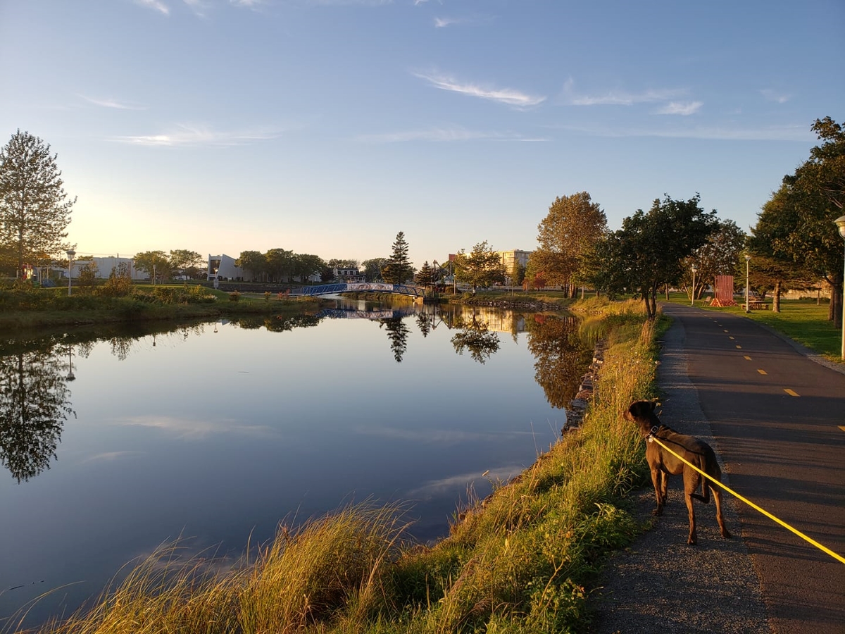
Combining these three interconnected trails allows for an easy hike of about 6 km (round trip). The route follows the mouth of the Matane River on the Captains' Promenade, approximately half a kilometer in length. Along this promenade, the woodwork recalls the time when the Matane River was used for log driving. In tribute to the families of captains who sailed the river during the schooner era, commemorative plaques recount the lives of significant figures. A large-format photo exhibition can be found along a part of the ramp.
At the end of the walkway, you reach Saint-Jérôme Avenue via Otis Street and head towards the Mathieu-D'Amours Dam. Next to it, a footbridge invites us to cross the Matane Islands Park. Three small islands connected by small bridges form a green space in the heart of the downtown area and offer a 1.2 km loop. Here, you can decide to retrace your steps to return to the start of the trail, completing a hike of about 2.5 km. If you wish to continue, at the western end of the Matane Islands Park is the beginning of the Walkway Trail (William-Price Bicycle Path), where you continue to follow the Matane River, but in a slightly wooded area. This section, 3 km in length (round trip), goes all the way to Route 195 and passes near Jardins de Doris and Castor Park. At the end of the walkway trail, simply return to the beginning of the Captains' Promenade.
Beaver Park
This trail starts at the parking lot of the Hunters and Fishers Association camp. With a length of 2.8 km, the trails pass through five different ecosystems and traverse a forest dominated by firs and poplars, where small fauna such as hares and owls can be spotted.
 Suzon Thibaud
Mont Castor
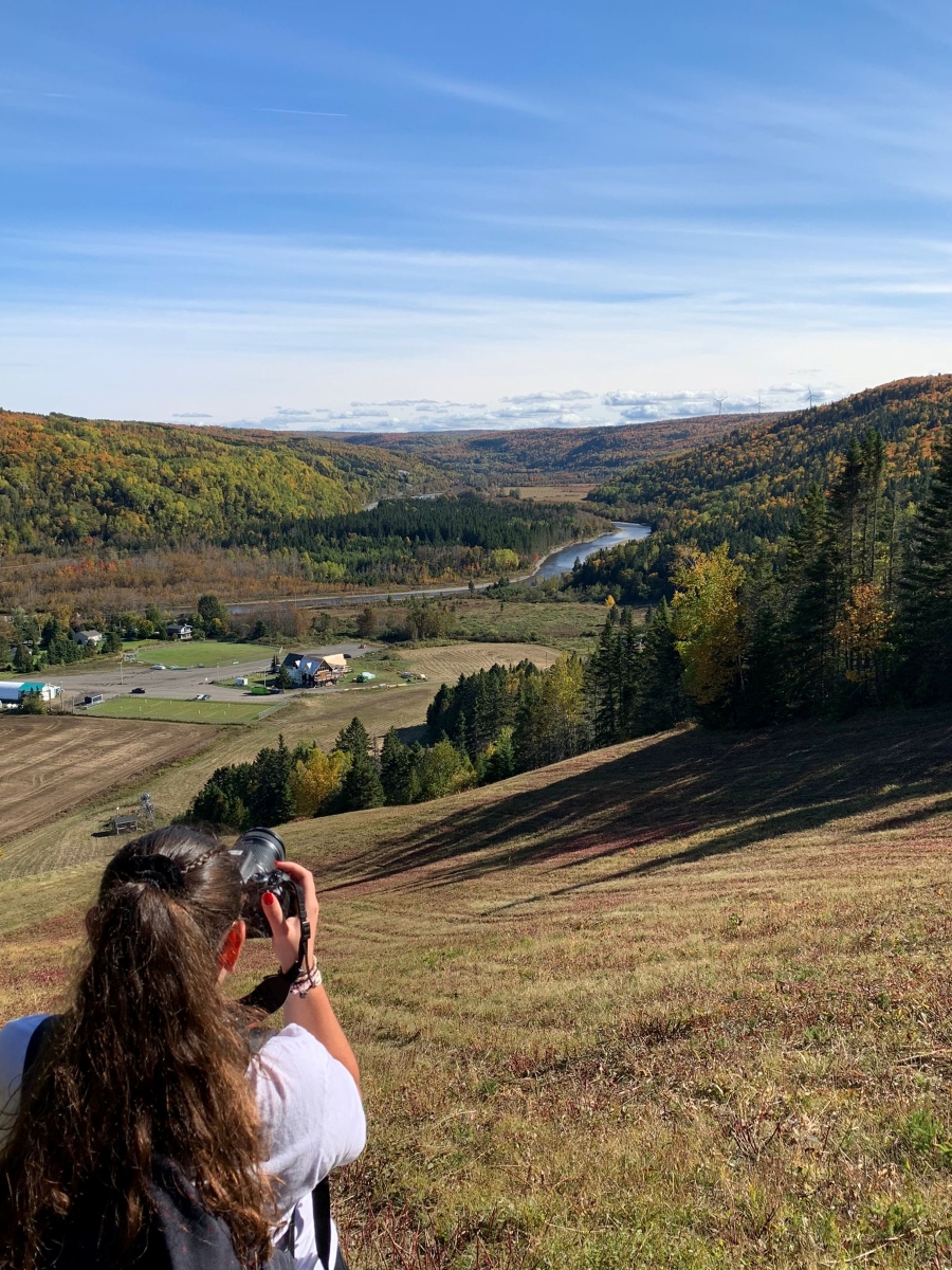
This ski resort, closed outside the winter season, is mainly frequented by locals in the autumn season. You can hike up this small mountain located 10 minutes from downtown Matane. Once at the top, choose one of the slopes to climb and enjoy the view of the Matane River valley before descending down another trail or the same one you ascended. It is recommended not to wander off into the woods or the lower parts of the mountain, as private lands surround it and there may be hunters in those areas.
Nature Crossroads
This municipal stop along the Matane River includes picnic tables. The nearby René-Lavoie footbridge leads to the municipal campground of the Matane River, where a short hike allows bird watching and observation of the beavers' natural habitat.
Bon Pasteur Trails
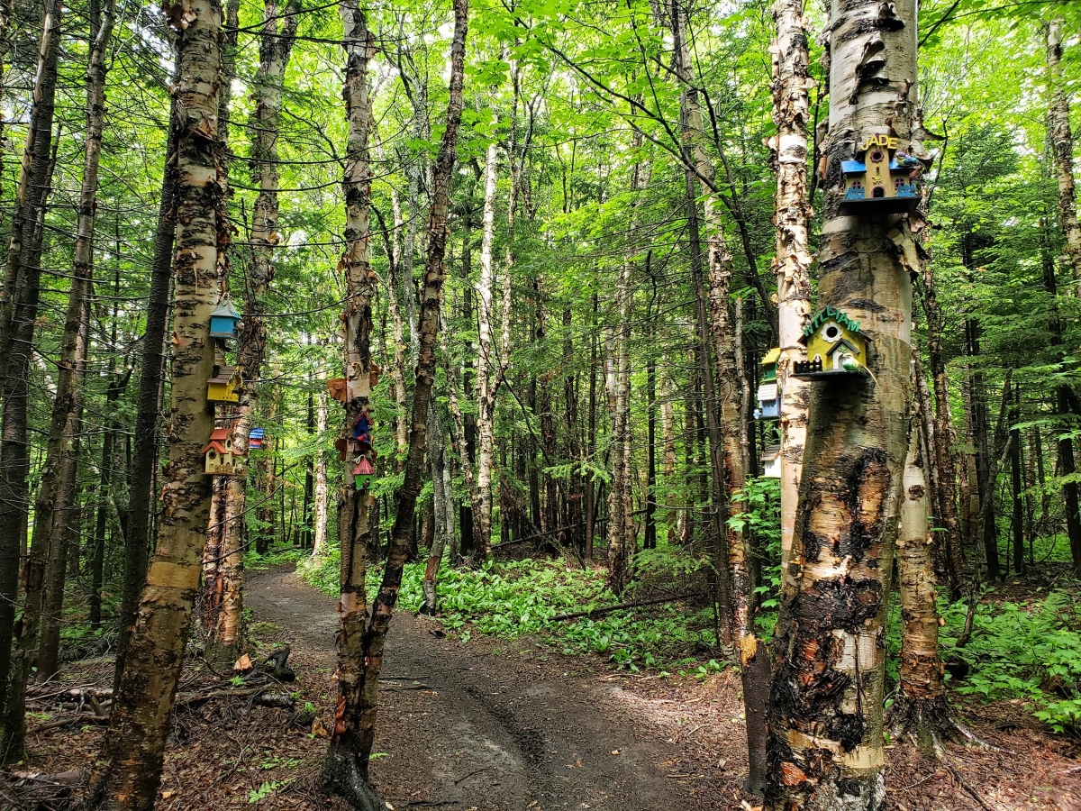
Maintained and adorned by the citizen committee of the Bon Pasteur neighborhood, these trails are named after dogs, with the illuminated and decorated Oh Henry Trail being an attraction for families and dog owners! You can start from Jane-McCallum Park. The trails are accessible free of charge all year round. The walk can vary from 15 minutes to 1.5 hours.
IMPORTANT - Information on Access to Matane Wildlife Reserve during Hunting Season
Take note that the Matane Wildlife Reserve and the portion of the International Appalachian Trail (IAT-Qc) that crosses it partially accessible between September 8 and November 6, 2026 due to moose hunting. Only the Matane River Trail and Mont Charles-Édouard-Vézina Trail are accessible without the need for a circulation permit, from 9 am to 4 pm only. Please ensure you wear a vest at all times. You can rent a vest for $5 at the John reception at the entrance of the Reserve. Circulation on Route 1 between the Pins parking lot and Petit-Sault parking lot is prohibited without a circulation permit. For more information on long-distance hiking on the IAT-Qc during hunting season, click here.
12 Tips for Hiking During Hunting Season
- Wear light-colored or bright-colored clothing.
- Wear a fluorescent orange vest according to the norms of the Ministry of Forests, Wildlife, and Parks.
- Carry an item that makes noise with you. For example, bells, keys, etc.
- Be informed about hunting and hiking regulations as well as the hunting zones and periods. Matanie is in Zone 1.
- Respect hunting territories. They are often marked with a "Hunters on watch" sign.
- Walk in a group and stay together.
- If you're walking with a dog, it's best to keep it on a leash.
- Walk in the forest during the day, between 9 am and 4 pm. Hunters are more active at dawn and dusk.
- When encountering a hunter, maintain a courteous attitude.
- If you hear gunshots, speak up to signify your presence.
- Report non-regulatory events to the Sûreté du Québec.
- Stay on marked trails or public roads and pay attention to signage.
Enjoy your walks and stay safe!